2019-08-15
The Occupation expands “Ma’ale Amos†settlement on Kisan lands/ Bethlehem governorate
Violation: Expanding a settlement.
Location: Kisan village/ Bethlehem governorate.
Date : 15/08/2019.
Perpetrator: Infrastructure director - the Israeli occupation civil administration.
Victims: People of Kisan village.
Description:
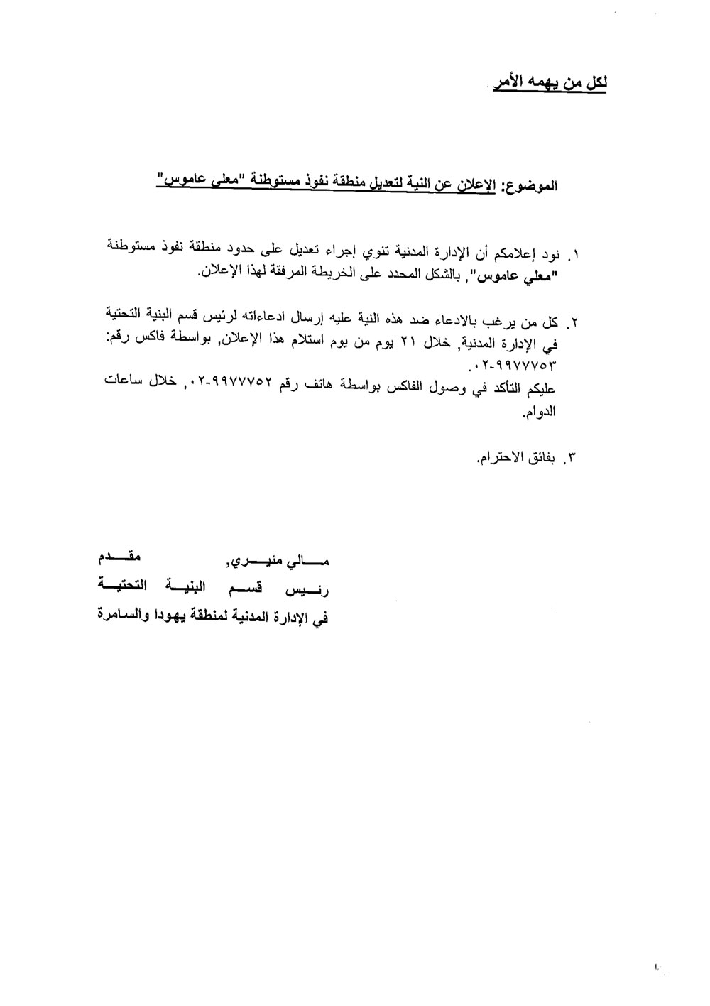
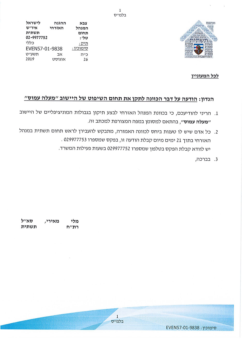
Thursday , 15 August , The Israeli occupation civil administration – infrastructure director issued an announcement that informs that the occupation aims to expand “Ma’ale Amos” lands on Ar-Rashayda and Kisan villages , the announcement is entitled “Ma’ale Amos borders modification”.
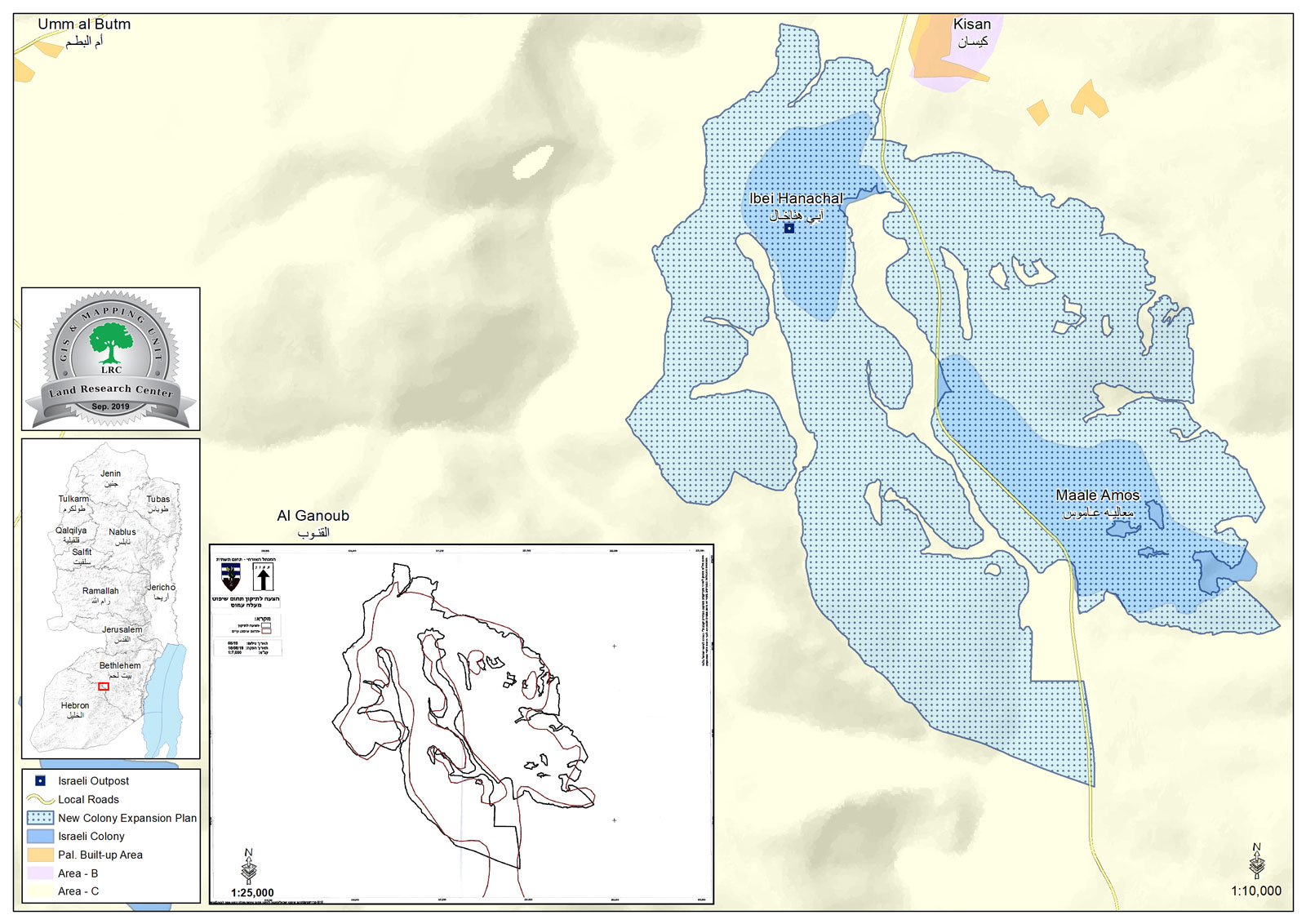
The targeted plots (that will be confiscated for the expansion) are in Kisan and Ar-Rashayda , the announced plan has a total area of 2300 dunums , which reflects the occupation’s intention to take over as much as it is possible of Palestinian lands.
According to the announcement, the owner can object within 21 days from the announcement day . Thus, the owners are preparing ownerships deeds and legal files for the objection procedures.
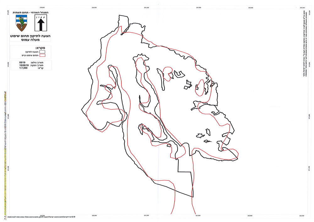
The announcement of the civil administration was attached by an illustration map , the map shows black lines around the settlement’s area after the expansion , and redlines that shows the expansion area , and a straight line that goes to Bareyet Ash-Shuyukh and Bein Na’im which reflects their intention to grab thousands of dunums .
The occupation’s announcement and military orders deceive others that the Israeli occupation follow up lows and take measurements legally, but in reality they take over Palestinian privately owned lands illegally and violate their basic rights according to international conventions and agreements.
The occupation’s announcement
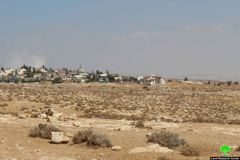
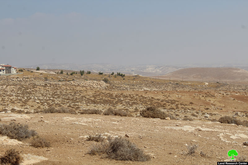
The targeted location
The Israeli occupation forces continue taking over Palestinian lands for settlement expansion.
The Israeli occupation authorities promotes and supports all sorts of colonization activities for their slogan “colonization is vital for the Zionist project” , this is why they enact laws that get along with their objectives.
About Kisan:[1]
18 kilometer south Bethlehem, Kisan is surrounded by Tuqu' (north), Dead sea (east), and Sa'ir (west), 'Arab ar Rashayida , Al-Buweib and Sa'ir (south).
Kisan has a total population of (560) people, (2017) census, and has an area of (133,278) of which (88,7) dunums are a built-up area of the village.
The Israeli occupation confiscated (2201) dunums of the lands of the village for three colonies. The first one is "Maale Amos" which was built in 1981 and confiscated 320 dunums of the village lands. It is inhabited by 299 colonists. The second is "Mizpe Shalem" which was built in 1971 and devoured 396 dunums. It is inhabited by 193 colonists. The third is "Mizpe Shalem B" which was built in 1980 part of it are built on Kisan's on 58 dunums of Kisan's land. "Abe Yenhal" outpost confiscated 166 dunums. Furthermore , Bypass 90 took over 1000 dunums.
According to Oslo Accords, 11% of Kisan is a natural reserved area, 40% of the villages lands are under area B. However, most of the village lands (49%) is under Area C (Israel maintains full security and administrative control). Here are the area in dunums:
Natural reserved area (240480) dunums.
Area B (88.5) dunums
[1] GIS-LRC

The contents of this document is the sole responsibility of LRC and can under no circumstances be regarded as reflecting the position of the European Union
